Purpose
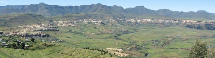
By walking through the research site, people's memories will be stimulated, and a group discussion could ensue about landscape dynamics. Things can be pointed to and relationships more clearly explained at the site.
Technique
Informants will be selected from each site and invited to help make a historical map of the woodlot, indicating the location of landscape features, changes, or significant events that took place.
Implementation
With the return of warmer weather and renewed plant growth, the Senior Researchers will select a few villagers to walk with them through each research site. GPS references will be noted at each place that is discussed. While the people will have their own list of what is important, the researchers will refer to pre-designed list of questions. These will cover such topics as ground cover, soil qualities, water sources and regimes, and land use.