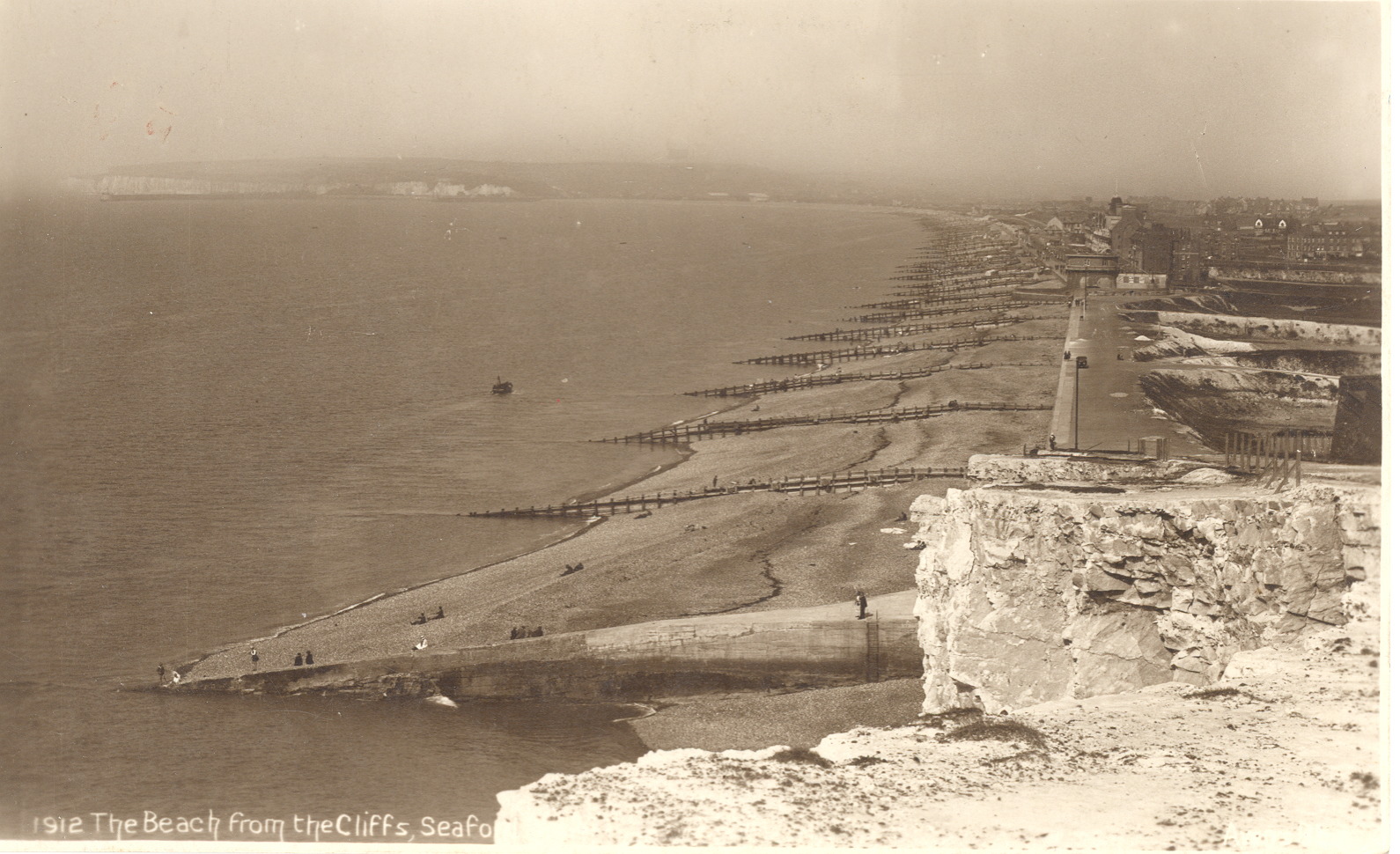
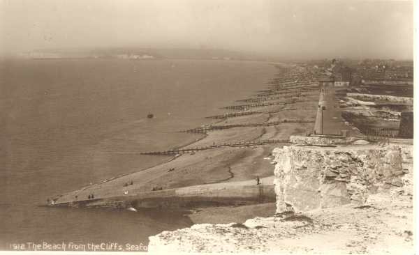
| Seaford Beach from the East Cliff in about 1910. The large numbers of wooden groynes have restricted longshore drift. The beach is quite wide and in the foreground the storm berm is a considerable distance from the promenade. On the right hand side, north of the promenade, shingle has been extracted, presumably for building purposes, leaving the town more vulnerable to inundation from the sea. |
 |
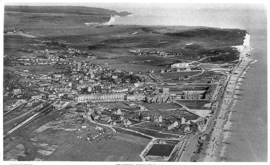
Aerial view of Seaford taken in 1931. Notice the scattered nature of the housing. Much of the land behind the beach was at risk from flooding and few people cared to live there. |
 |
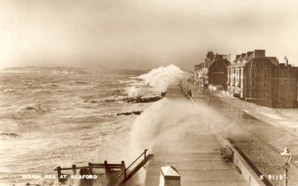
| During the inter-war years Seaford began to suffer significant beach erosion. When this photograph was taken in the 1950s, beach levels had dropped to such a degree that storm waves regularly broke against the seawall, flooding the road on top and threatening the houses behind.
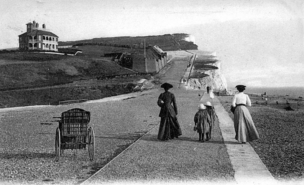
The steps in the foreground confirm that beach levels were generally low. Earlier in the century the beach on its landward side had been nearly level with the promenade, as can be seen in the previous photograph.
|
 |
|
|
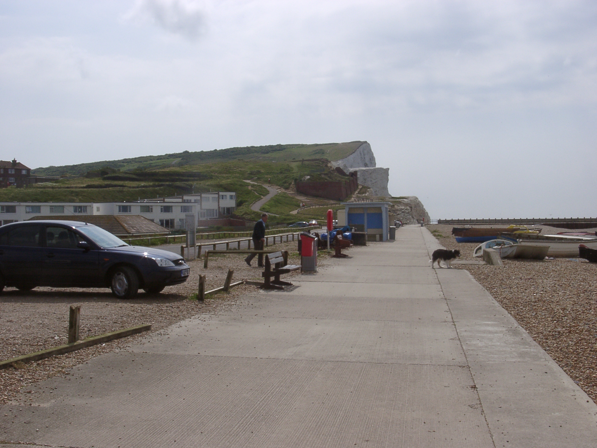
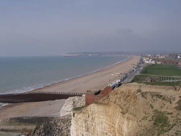
| A major beach recharge project was completed in 1987, using shingle dredged from the seabed off the Isle of Wight. In this 2002 photograph the recharged beach looks even healthier than its predecessor in 1910. Apart from a terminal groyne at Splash Point (foreground) there are no groynes to check longshore drift. Shingle accumulates quite rapidly at the Splash Point groyne, and each year has to be taken back in lorries to replenish the beach at the western end of Seaford. |
|
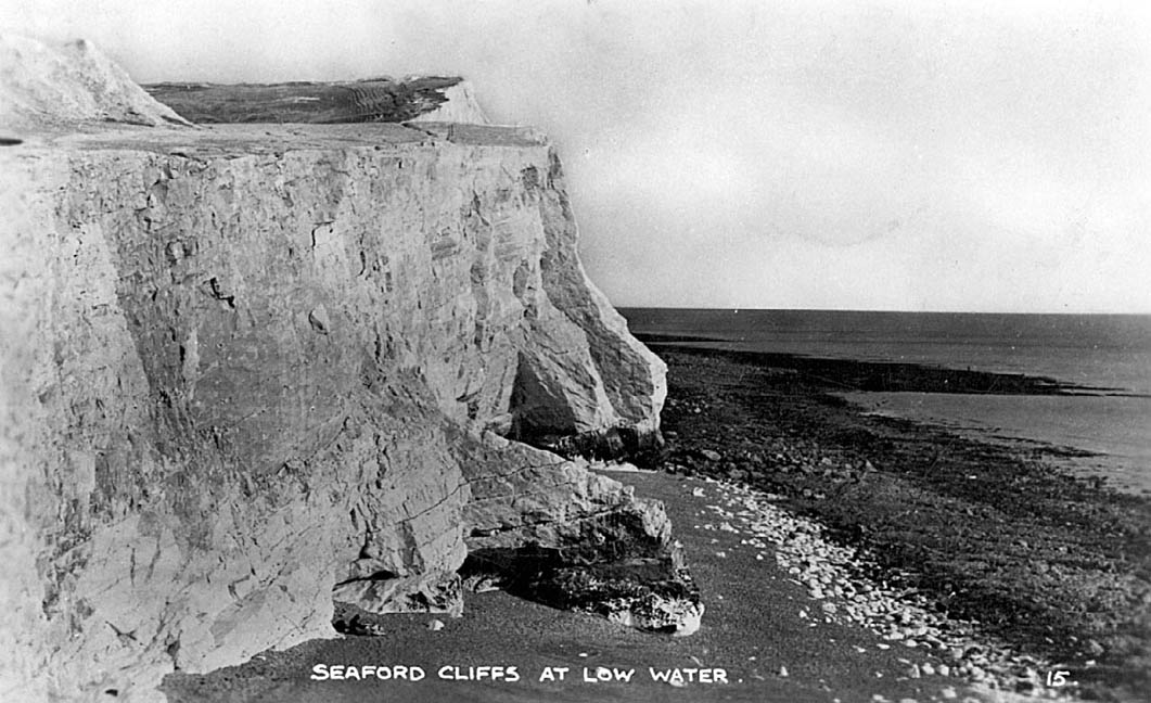 |
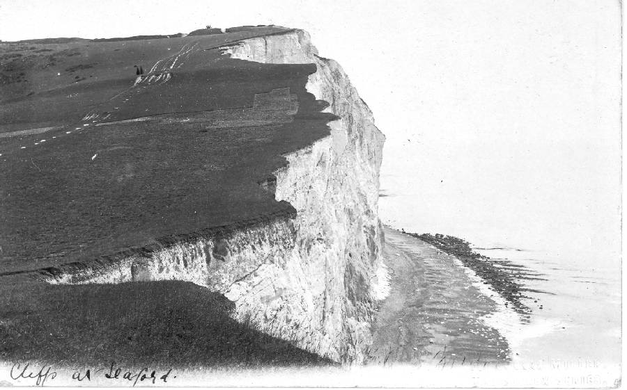
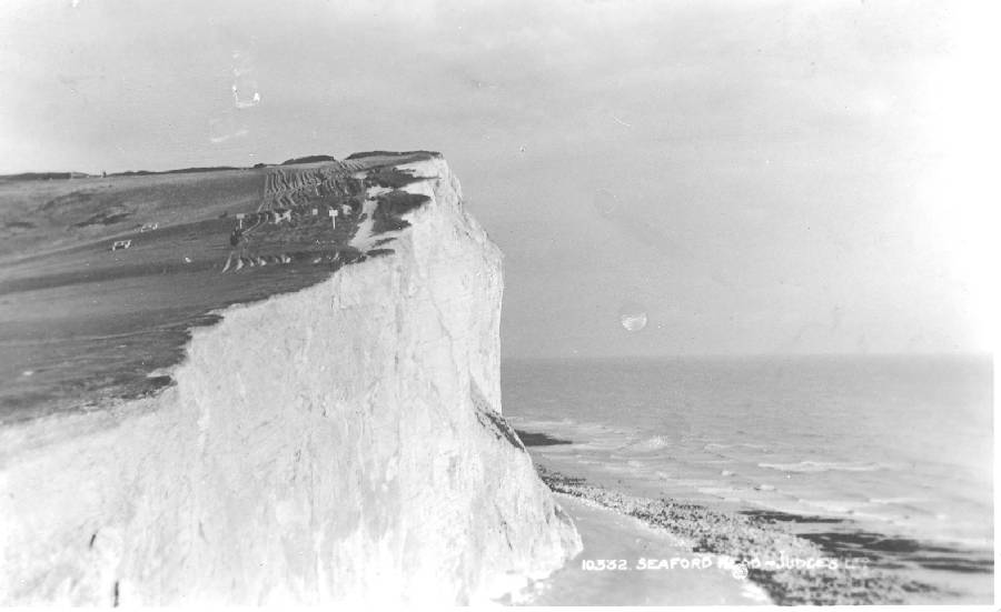
No dates are given for this and the next postcard of Splashpoint. However, a clear development of the buttress in the foreground can be seen with a cave developing in the next image. |
 |
|
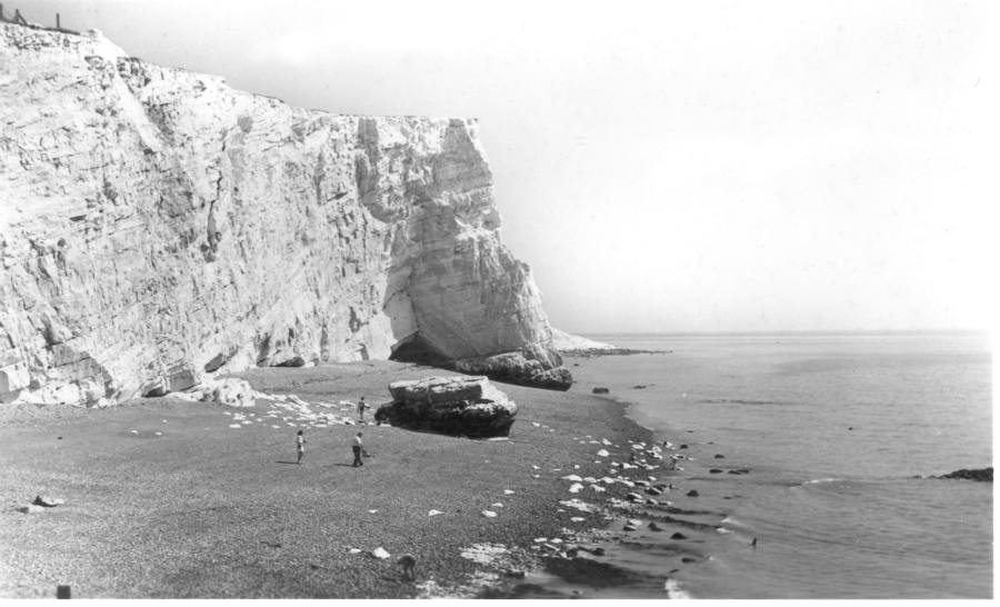 |
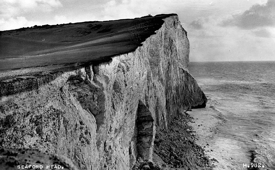
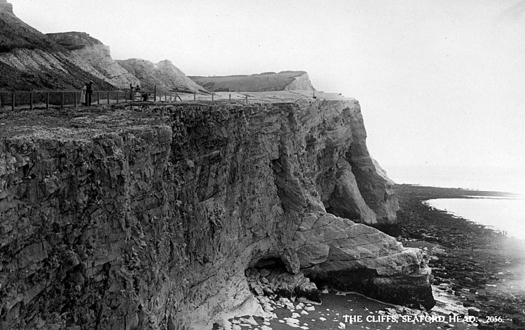
The buttress in the previous photo has been detached from the cliff and remains as a stump on the beach. The buttress that can be seen in the previous two photos in the background has developed further and will eventually take the same course as the stump in the foreground. |
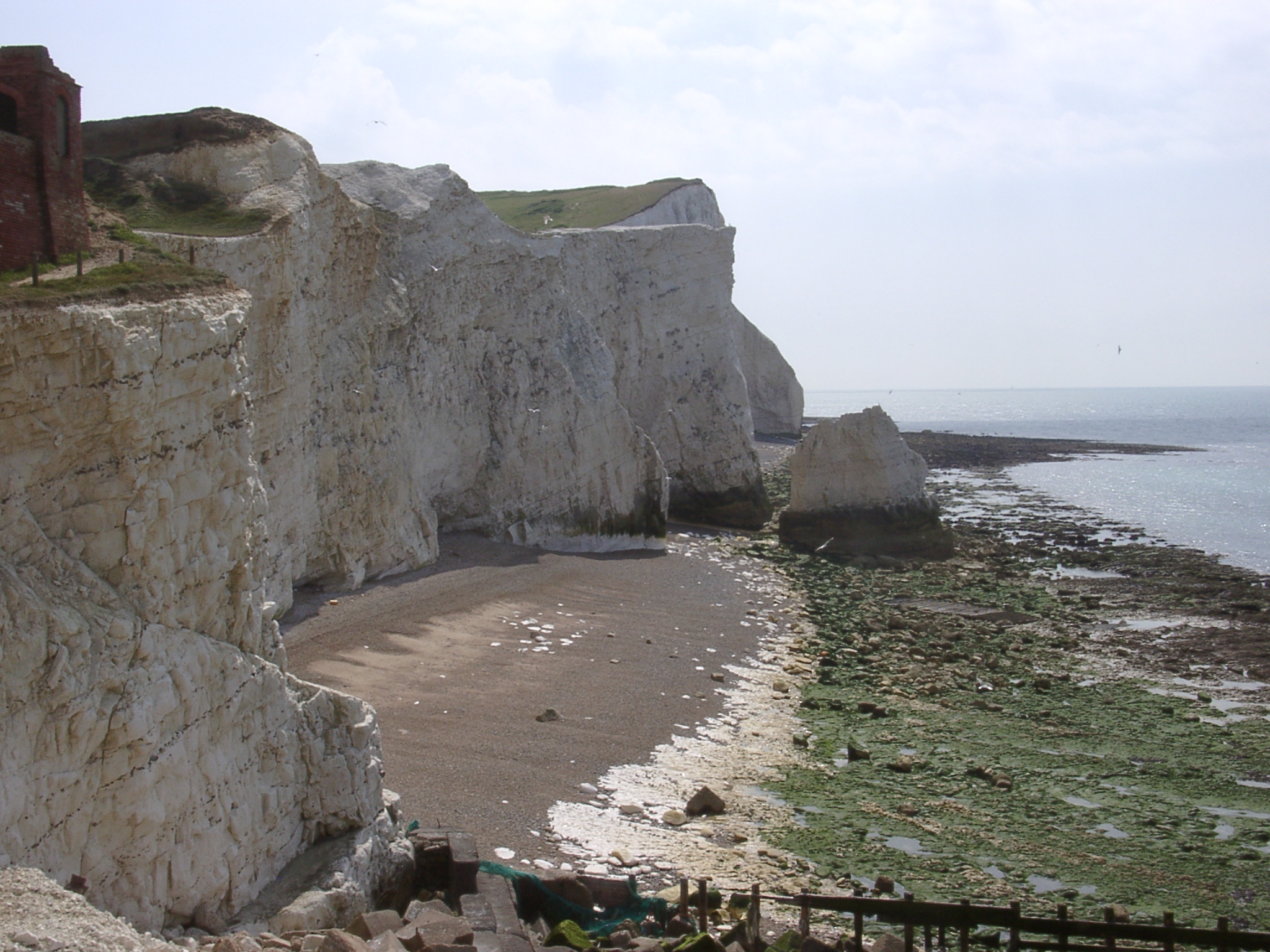 |
In 2002 the sequence of events has repeated itself. The stump in the previous photo has been removed and the buttress has been detached from the cliff and stands now as a stack in front of the cliff and will eventually be removed altogether.
As seen in other examples from the coast, the general outline of the shore platform (in this case the seaward protrusion in the background) does not seem to undergo dramatic changes.
|