
|
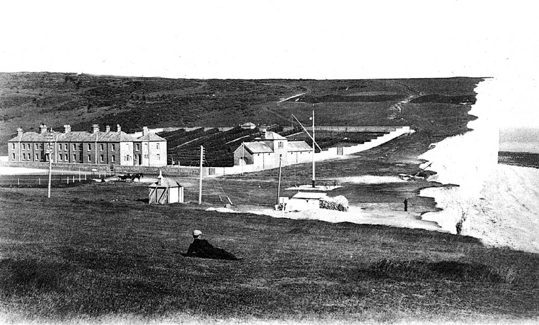
Birling Gap, as recorded by the French photographer, Louis Levy, in about 1906. The Coastguard Cottages and rocket house are well back from the edge of the cliffs! |
|
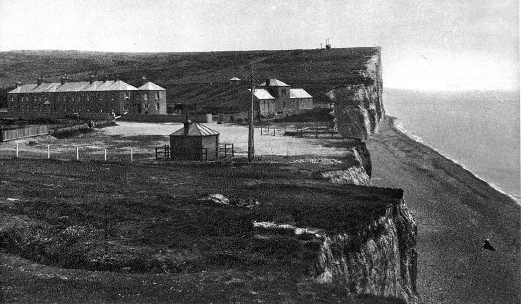
This photograph must have been taken in about 1920. The cliff edge has almost reached the rocket house. Most of the wall beyond has been destroyed. |
|
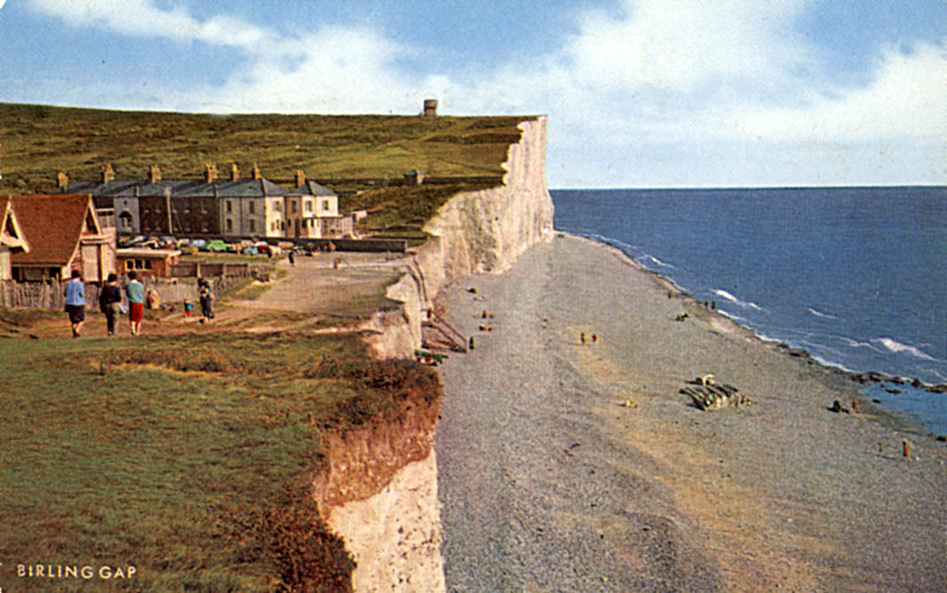
In this 1970s photograph, the cliff edge is approaching the Coastguard Cottages. |
|
|
The scene in July 2002, after demolition of cottage number 2. |
| This photograph was taken in about 1920 looking west across Birling Gap. The rocket house remains intact, but the sea is encroaching on it at a rate of about 0.7 m per year. | 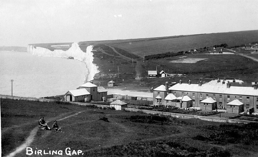 |
| The same view in July 2002. The changes in the position of the cliff top are quite dramatic. |
 |