|
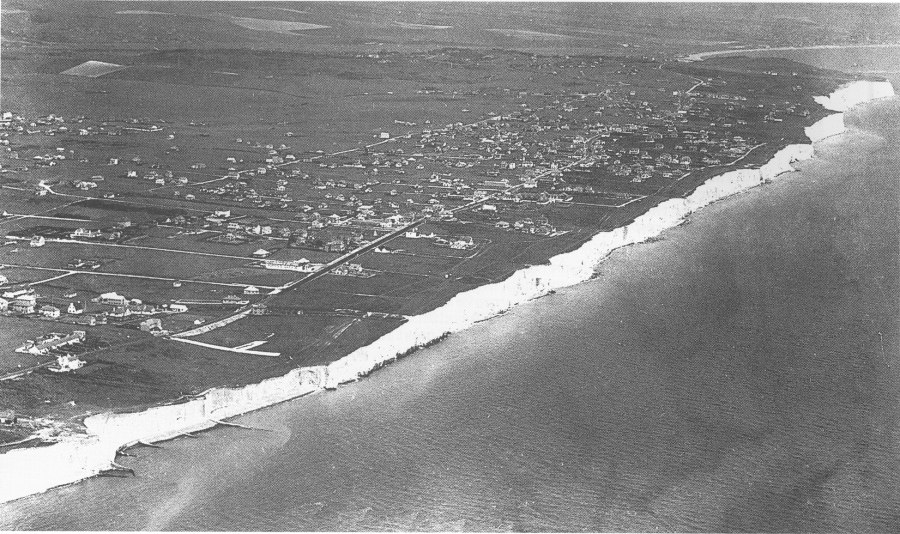
Peacehaven from the air, in about 1928. The grid-like road system and scattered nature of the housing are well shown. Most houses are situated well back from the cliff edge. |
|
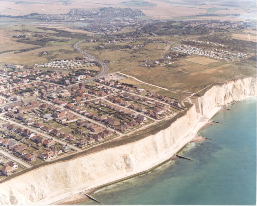
Another aerial view, from about 1980, showing the eastern end of Peacehaven and Friar's Bay. Notice how much denser the housing has become. The cliffs are now much closer to the housing area, but are protected at their base by a newly built sea wall and undercliff walk. |
|
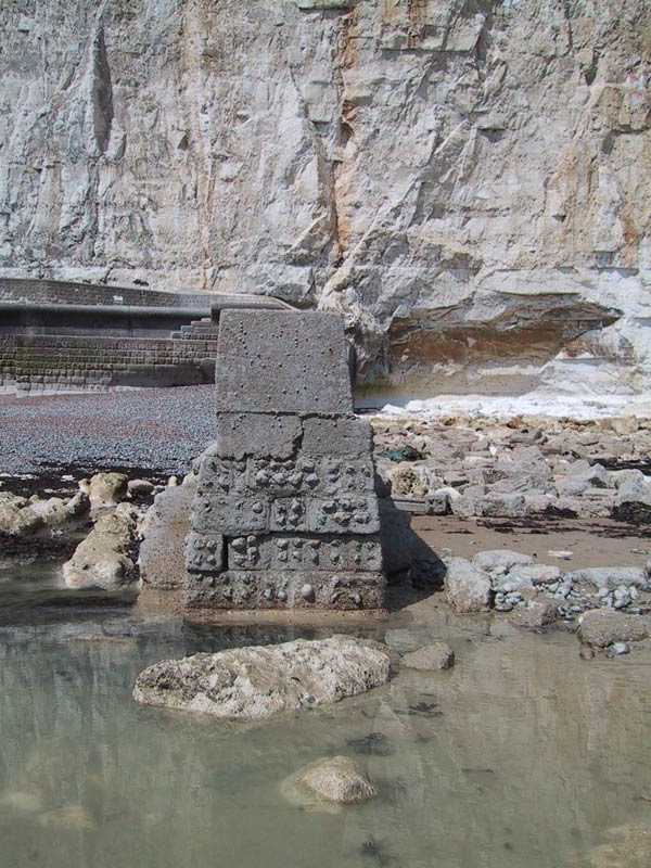
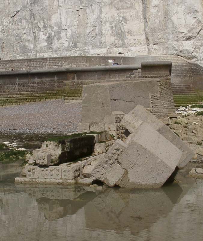
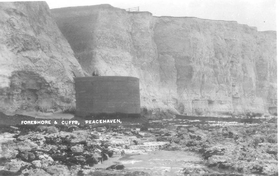
The Bastion Steps were built soon after World War 1 to give Peacehaven residents ready access to the beach. This card was posted in May 1923. |
|
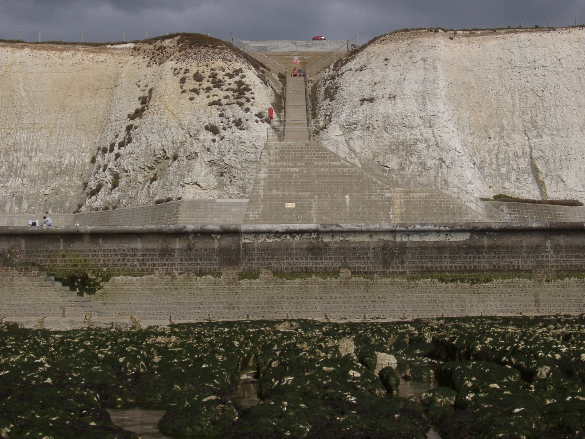
Charles Neville, the founder of Peacehaven, was careful to leave quite a wide grassy strip between his estate and the sea where people could walk and enjoy the sea views. Unfortunately, cliff erosion steadily reduced the width of this strip, at an average of about 40 cm a year. After much political agitation, it was agreed that sea defences were needed. Two sections of sea wall and undercliff walkway were built at the eastern end of Peacehaven and at Bastion Steps between 1975 and 1977. Other sections followed, and by 1997 the entire Peacehaven frontage was protected.
The photograph shows the scene at Bastion Steps in July 2002. The seawall and undercliff walk conceal the base of the cliffs. Only the upper section of the original steps is preserved. Note the contrasting appearance of the natural and trimmed cliffs. |