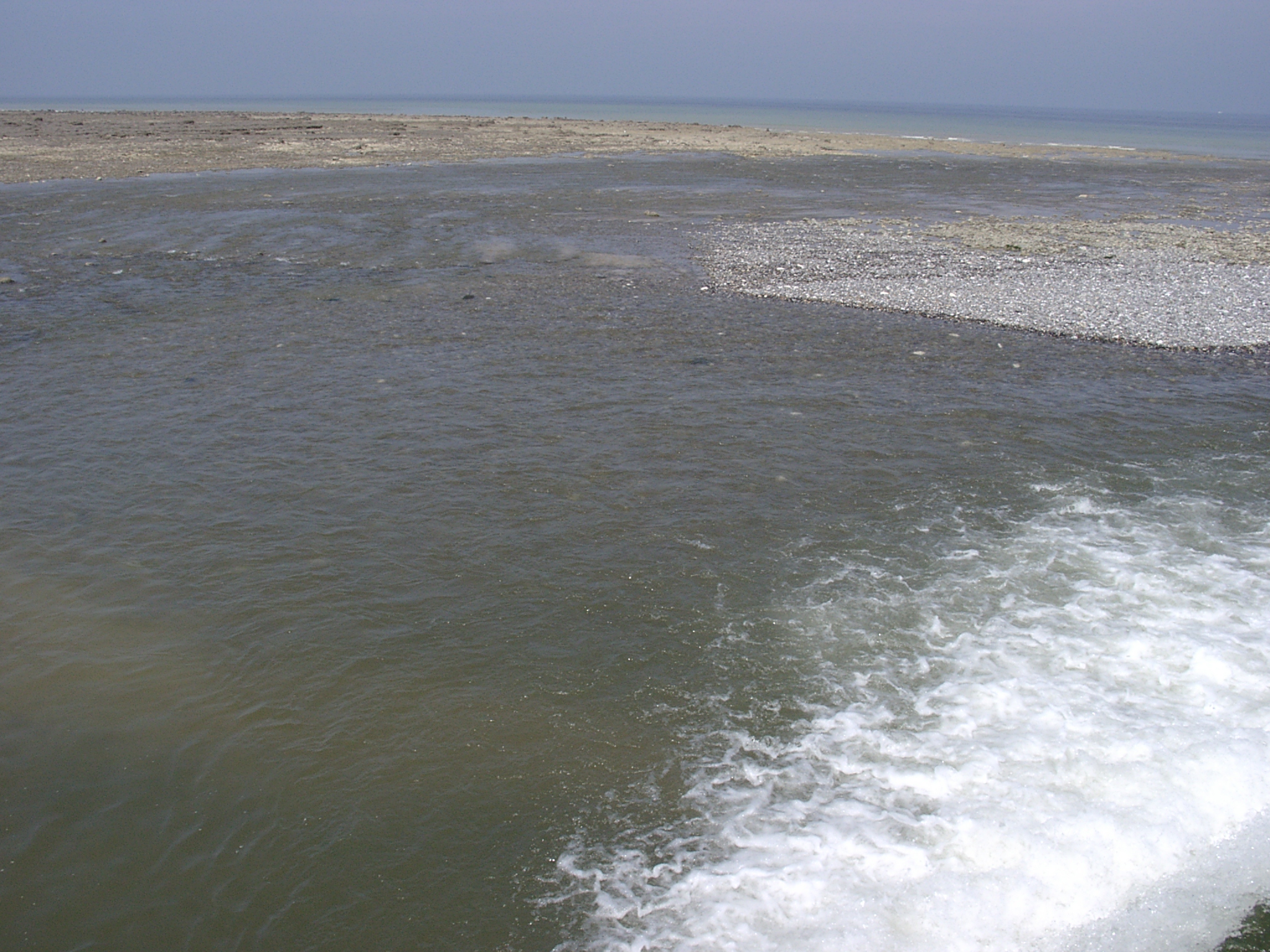
 Looking westwards from approx. the middle of the valley along the beach. The channeled outflow of the L'Yčres river can be seen in the middle ground. The shore platform is covered with sand. |
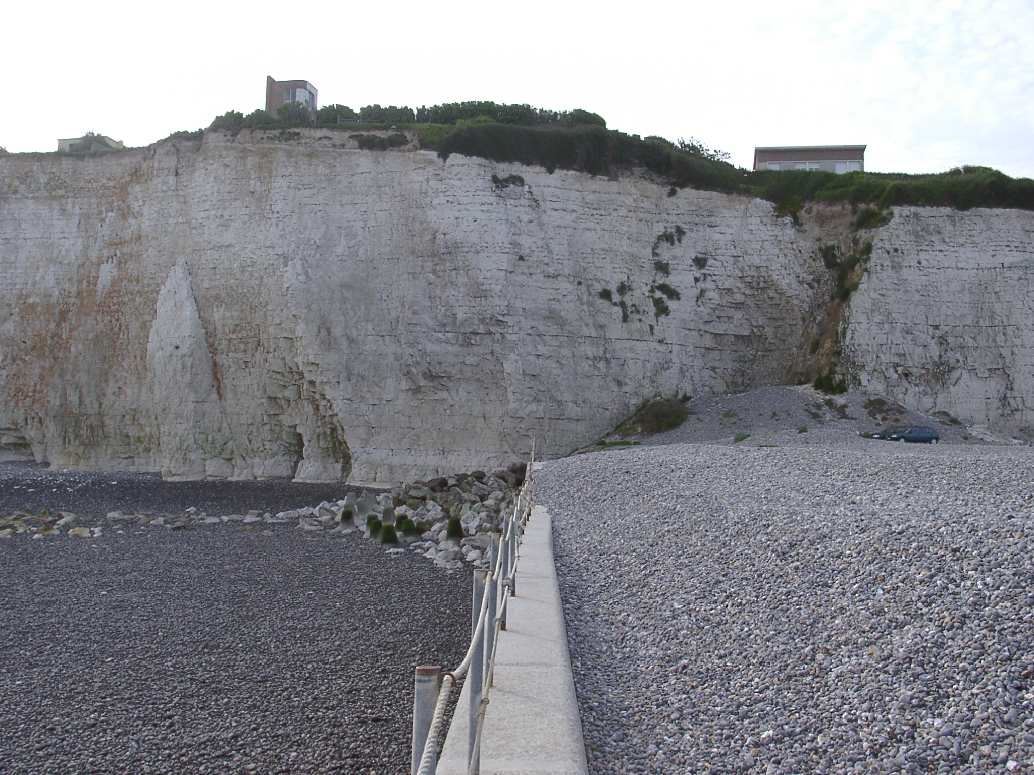
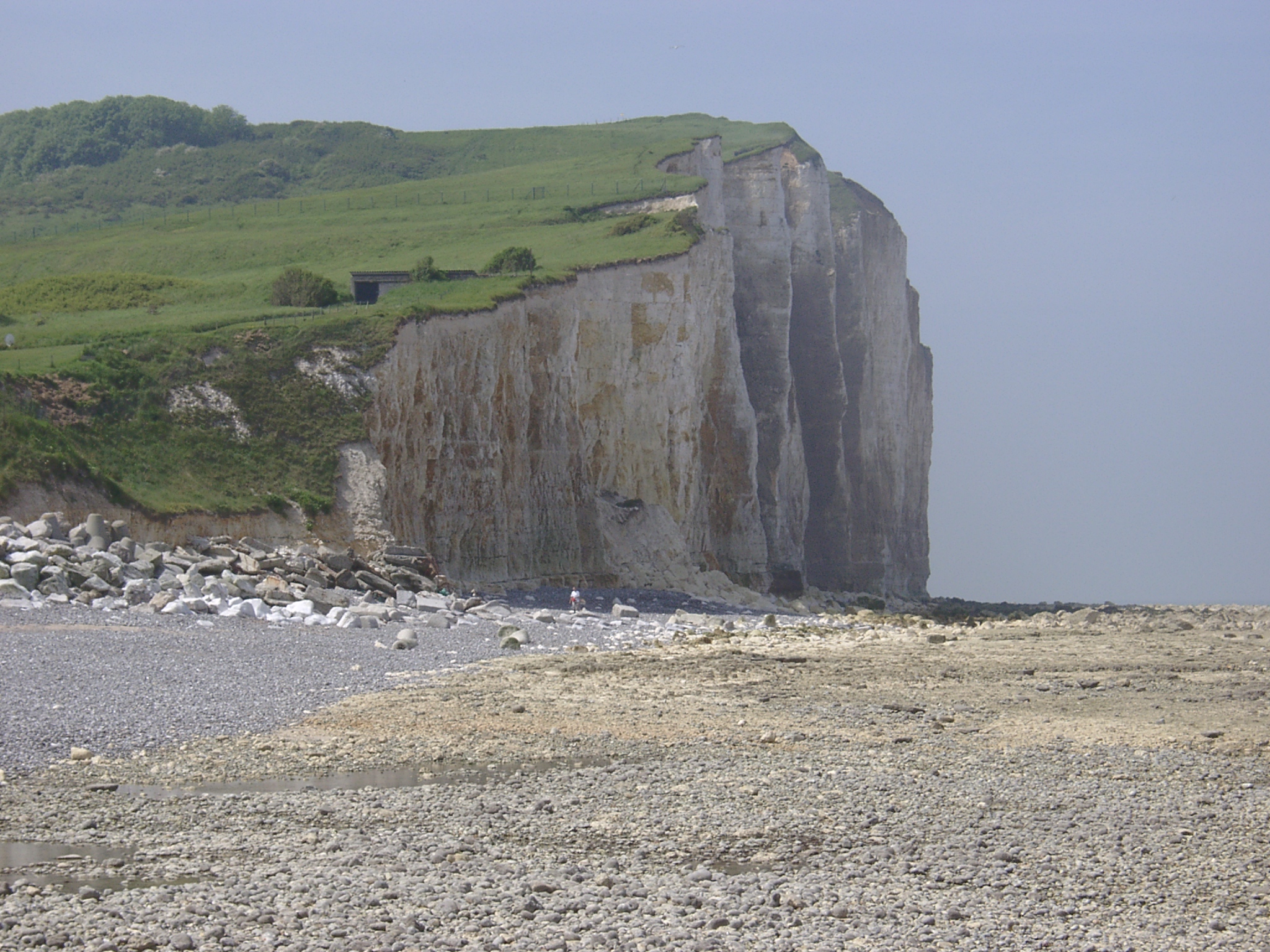 Detail of the western part of the beach and the cliffs. Some rudimentary cliff protection by a variety of blocks; person in red shorts for scale. Shore platform is covered with pebbles and cobbles. |
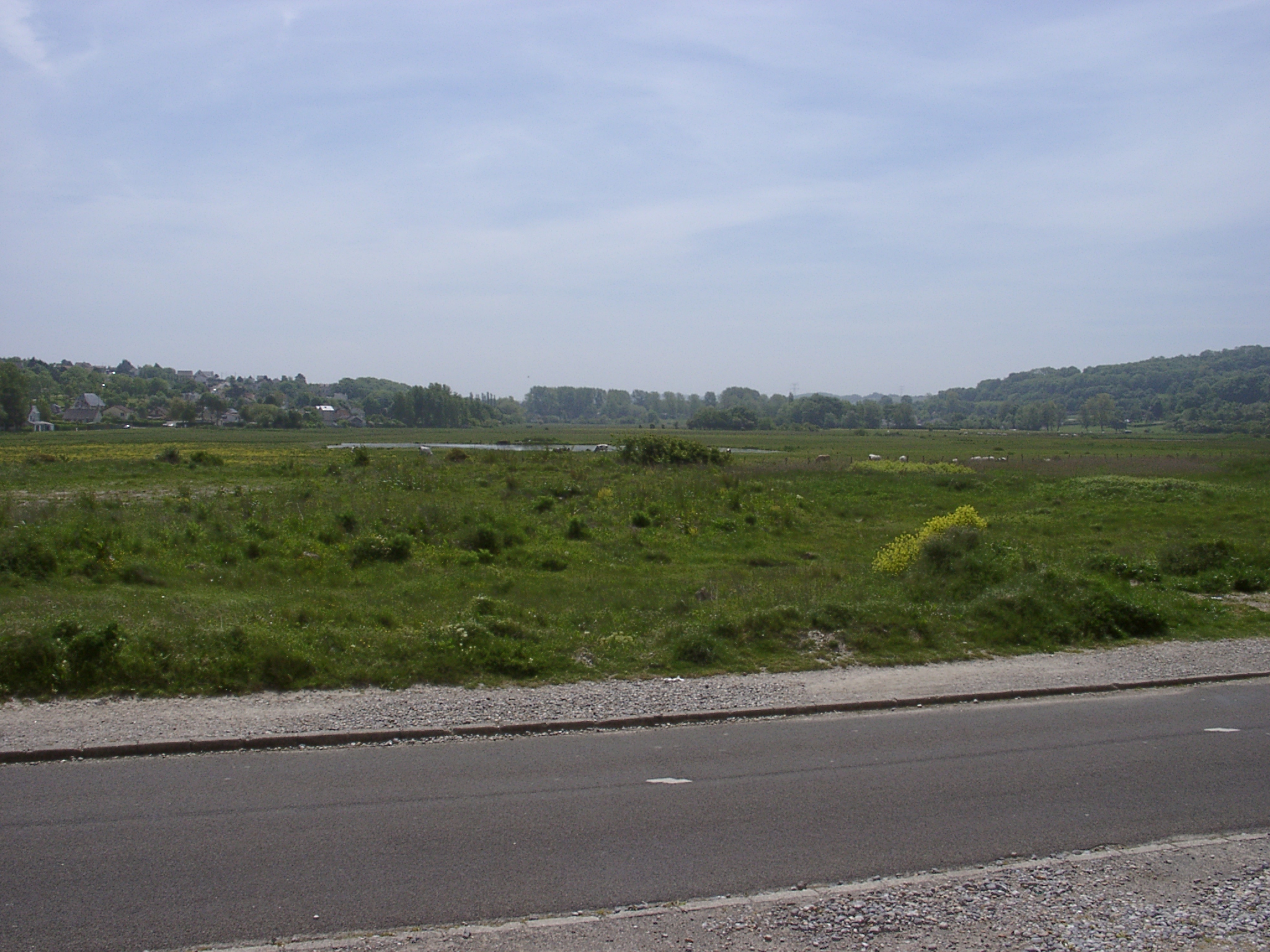 Looking up-valley from the shingle ridge showing the flat bottom valley and the chalk slopes to either side. |
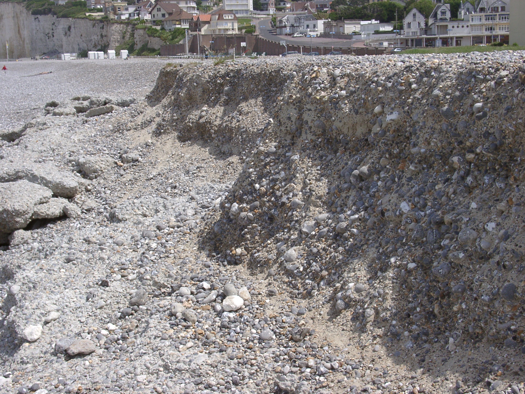 Scarp at the top of the beach revealing a sandy matrix of the beach. The scarp indicates that the beach is re-shaped by machinery. |
 Panaroma 01 of the outflow of the L'Yčres river, the shore platform and the shingle delta. |
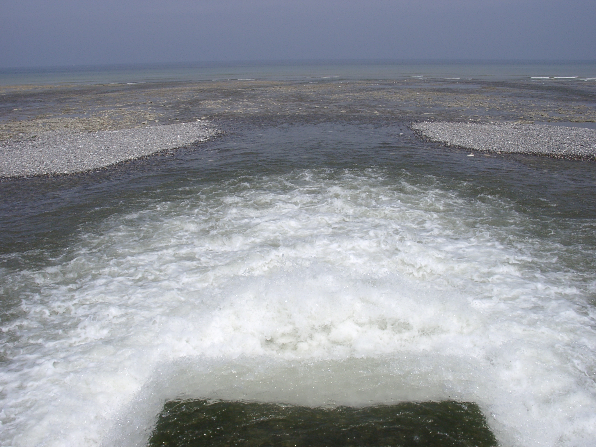 Panaroma 02 of the outflow of the L'Yčres river, the shore platform and the shingle delta. |
 Panaroma 03 of the outflow of the L'Yčres river, the shore platform and the shingle delta. |
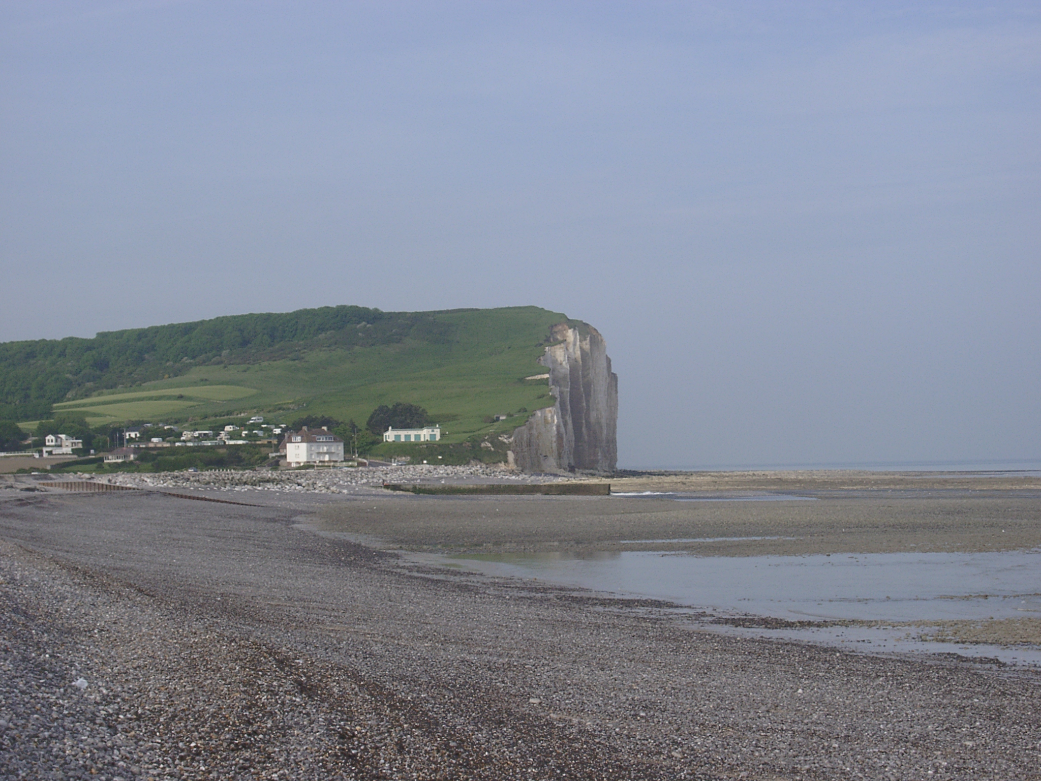
 View of the pebble and cobble covered shore platform and the shingle beach. |
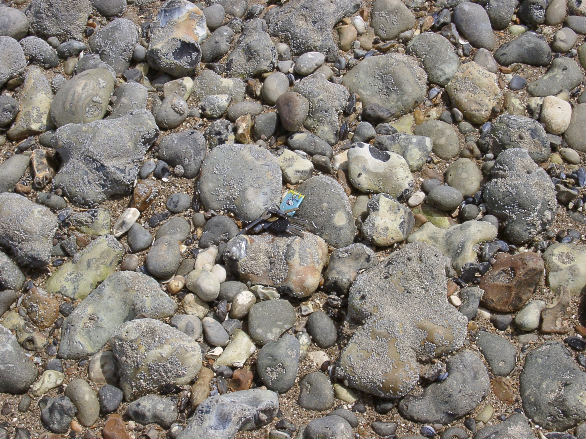 Detail of the surface of the shore platform. Barnacles on the pebbles and cobbles seem to indicate minimal movement and disturbance of the surface. Keys for scale. |
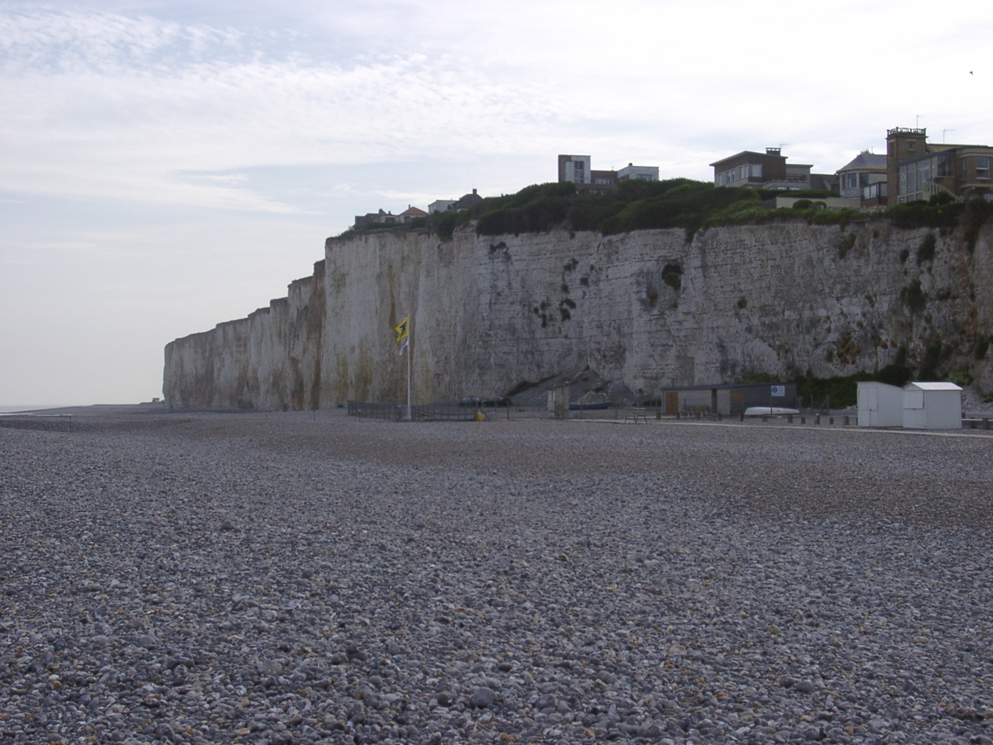
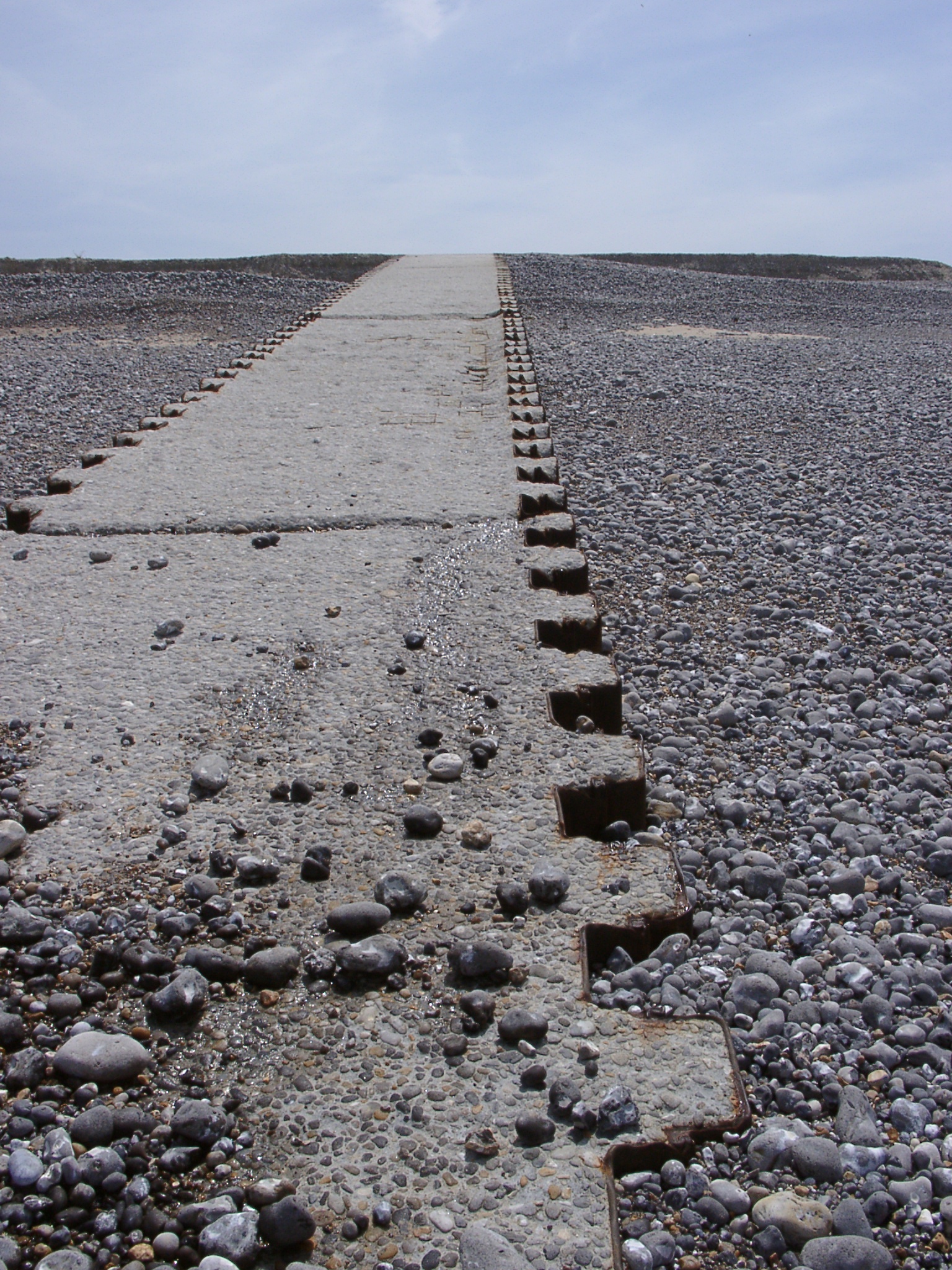 Concrete groyne in the middle of the beach shows signs of erosion particularly in the middle ground. |
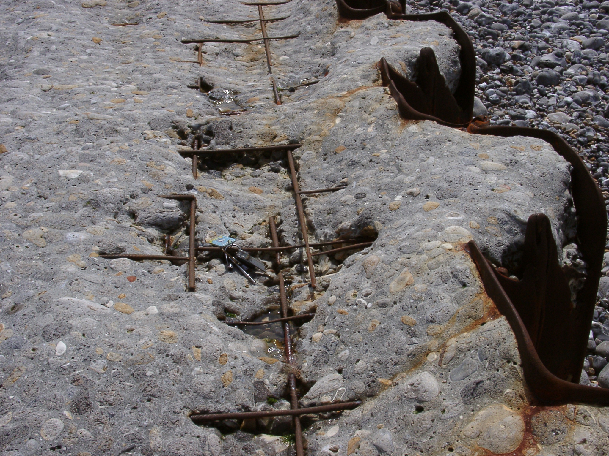 Detail of the erosion of the concrete groyne. Concrete is worn down to the metal armouring. Keys for scale. |
 The eastern part of the beach is quite wide against the terminal groyne protecting a few houses on the cliff top. |
 The terminal eastern groyne at Criel Plage. Very little shingle on the down-drift side. Over topping of the groyne does seem to provide some material for transport further downdrift. Hoses on the cliff top towards the east are unprotected. |
 The eastern terminal groyne on 19-12-2001 showing the same asymmetry with regard to beach material distribution. |
 Eastern end of Criel Plage with unprotected houses on the cliff in the foreground and the terminal groyne. |
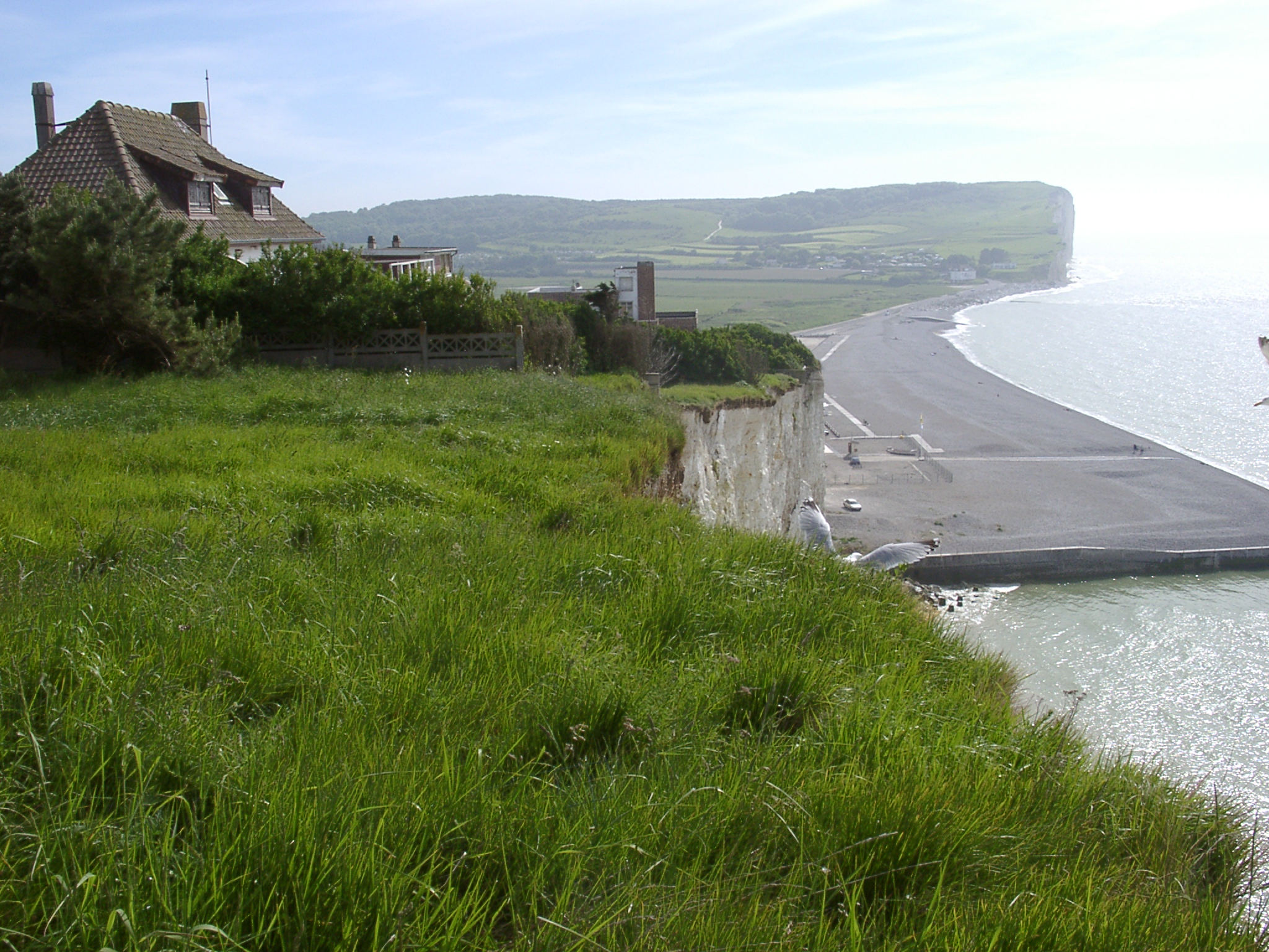
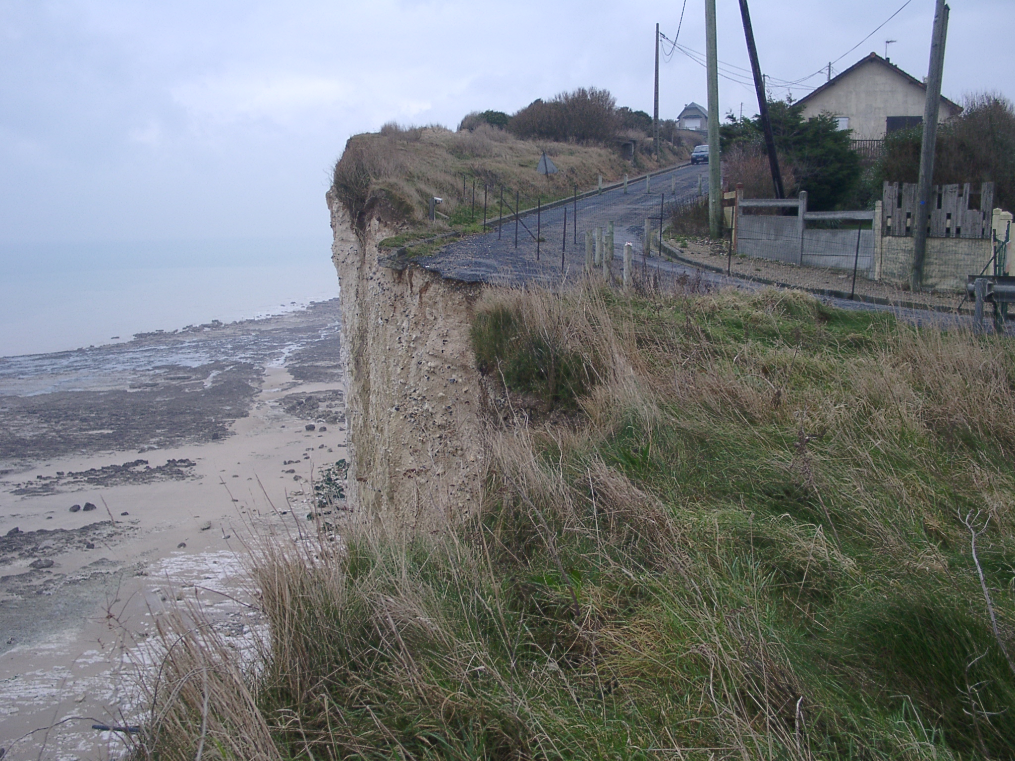
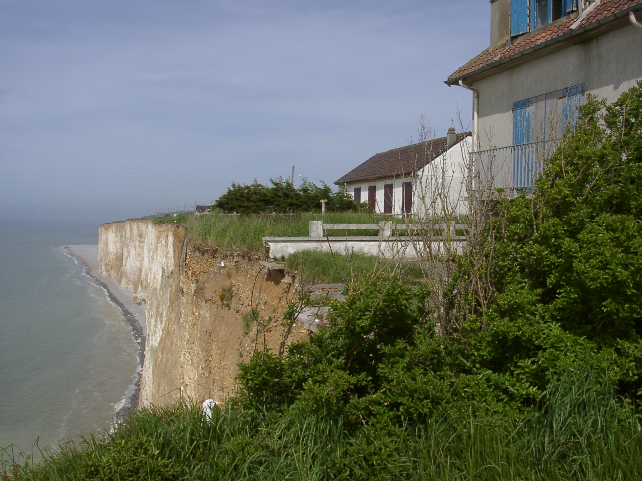 Looking eastward along property at the cliff top. |
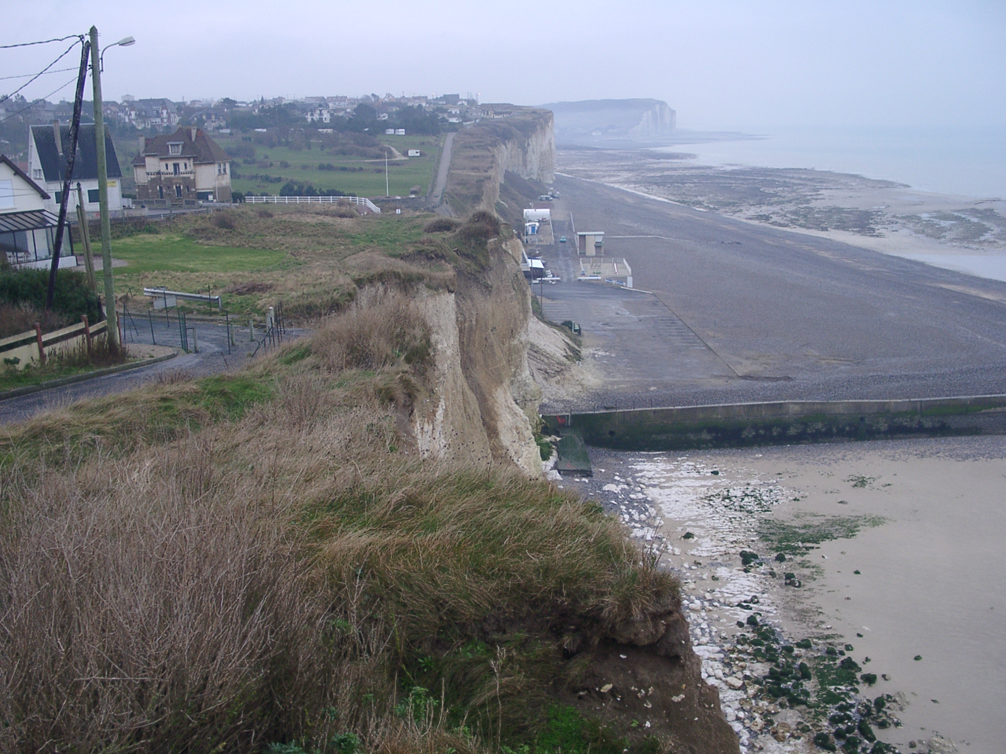
 View from the eastern end of the shore platform at Criel Plage eastwards to Mesnil-Val_Palge in the background. |
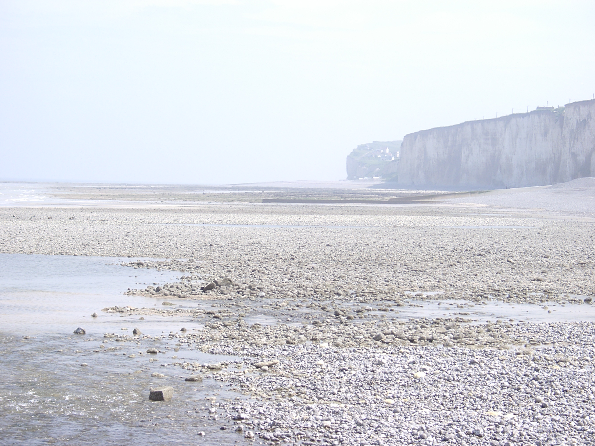
 View from the cliff towards Criel Page with the western extension of the beach at Mesnil-Val-Plage in the foregorund. |
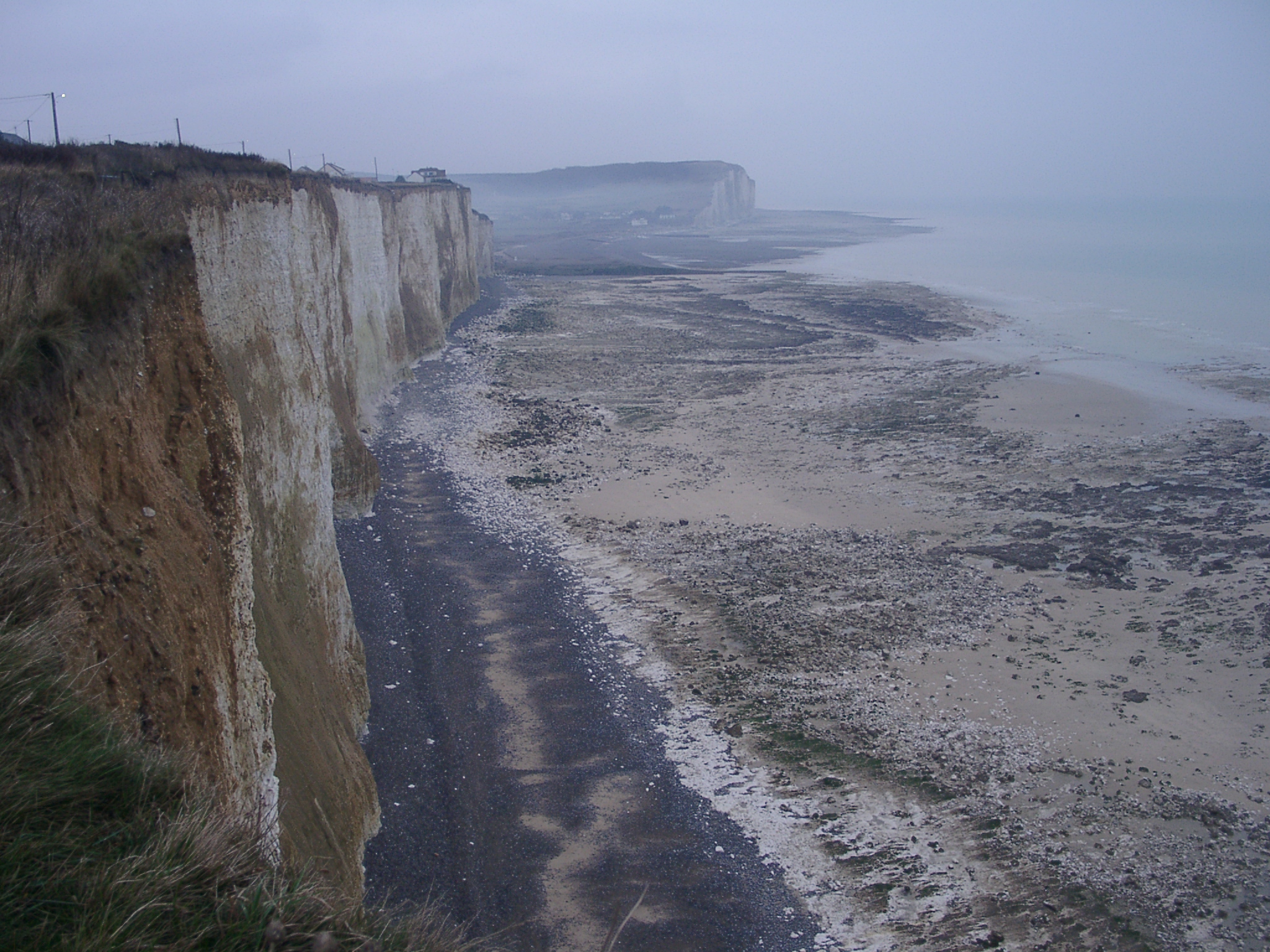
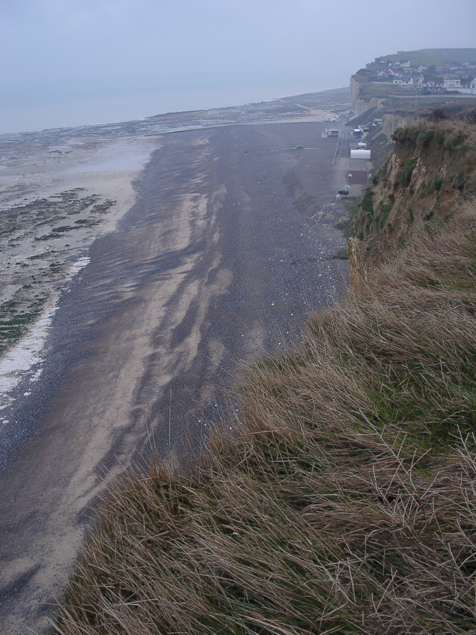 View from the cliff towards Mesnil-Val_Palge. Note the increase in beach width towards the east. |
 View from the cliff towards Mesnil-Val_Palge. Note the increase in beach width towards the east. |
 View from the cliff towards Mesnil-Val_Palge. Note the increase in beach width towards the east. |
 View from the cliff towards Mesnil-Val_Palge. Note the increase in beach width towards the east. |
Mesnil Plage 19-12-2001 01.JPG
|
 MesnilPlagebunker.JPG 1385 Kb |